When your lab is located smack dab in the eye of the storm, it’s easy to spot change. But when asked if climate change is causing more severe weather events, researchers leading Western’s Northern Tornadoes Project (NTP) looked at each other, laughed, and answered: “It’s complicated.”
A partnership between Western and social impact fund ImpactWX, NTP was launched in 2017 and has since become the de facto Canadian leader for all things tornadoes north of the border, with the number of recorded and investigated severe weather events skyrocketing over the last several years.
The higher volume of tornadoes identified year over year is partially attributed to the advanced techniques and technologies NTP is using to better detect occurrence and improve severe weather prediction in Canada. But something else is happening, too. And the researchers just aren’t ready to call it climate change.
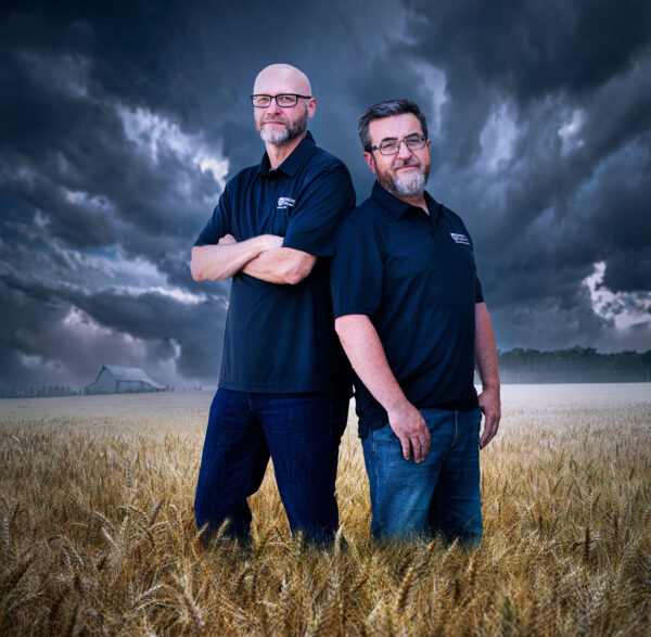
“We must be careful when answering questions regarding climate change and extreme storms,” said Gregory Kopp, the ImpactWX Chair in Severe Storms Engineering and NTP lead researcher.
There is evidence, according to Kopp, that suggests storm patterns are shifting in North America, but when it comes to weather and climate change, it’s just too early to tell.
“The number of storm days are dropping, but in the U.S., the number of tornadoes is staying about the same, which means they’re getting more outbreaks. There are things happening, but it remains very complicated,” said Kopp.
It would be worthwhile to look at long-term tornado patterns, as well, according to David Sills, NTP executive director.
“As far as climate change goes, there are certain meteorological variables that are much easier to see over the long term versus the short term,” said Sills, who joined Western in 2019 after working more than 20 years as a severe weather scientist with Environment Canada, where his research largely focused on tornadoes.
“We’ve got long-term temperature records and long-term sea level records, so we’re able to identify changes in patterns with these things. But when you look at tornadoes, yes, they happen every year, but they’re still considered rare events, so we just don’t have the long-term records to pinpoint true pattern changes. We’re working on addressing this data gap.”
Unlike temperature records, which are available for Canada for every hour of every day dating back hundreds of years, comparative records for tornadoes are basically non-existent. That’s a big part of what NTP is trying to do – backfill those records.
“That’s part of the reason we’re collecting all this data on current tornadoes and generating new climatologies because they just don’t exist,” said Sills. “We’re looking towards the future with our investigations, but we’re also trying to better understand our past.”
Sills led the last official Canadian tornado climatology (the average spatial and temporal characteristics) covering the period from 1980 to 2009, when he was still working with Environment Canada. Using existing data, case study reports, news articles, and social media reports, Sills is currently leading NTP research to develop a new climatology for the next 30-year period, 1991 to 2020.
“Comparing the 30-year climatology from 10 years ago to the new one, which we’re completing now, you can see changes,” said Sills. “You can see that the Prairies went down in tornado activity and Ontario and Quebec went up over those 10 years. Whether that holds in the long term, we don’t know. When we have those numbers for the next 10 years, I think then we may begin to understand more about the effects of climate change on severe weather events like tornadoes.”
Building resiliency
The work of the NTP is not only making a huge impact on the investigation of tornadoes, but also plays a consequential role on disaster preparedness.
Just hours after a tornado struck Barrie, Ont., in July 2021, the NTP team was on site to investigate the storm. The tornado travelled 12.5 km on the ground, leaving 10 people injured and causing tens of millions of dollars in damage to hundreds of homes, including more than 20 roofs ripped right off the rafters.
Following that investigation, NTP was able to assign an EF-2 rating on the tornado by using advanced drone footage, satellite imagery and ground surveys, ultimately calculating the tornado’s maximum wind speed at 210 kilometres per hour.
While a tornado reaching such speeds would undoubtedly cause some level of damage, there are important steps in construction, often missed, which could have mitigated the effects.
For the past 20 years, Kopp has dedicated most of his research to understanding wind loads and building aerodynamics to increase resiliency of homes and other buildings against severe weather.
Marking the one-year anniversary of the Barrie tornado, Kopp and Sills revisited the city on July 15, 2022, along with student intern Areez Habib. After seeing the damage and disrepair in Barrie 12 months later, Kopp said more work still needs to be done to mitigate against severe weather disasters. “When you have severe wind events, like tornadoes, there is uplift, and you have to hold the roof down,” said Kopp. “The building code in Ontario doesn’t currently or comprehensively address severe wind and that’s unfortunate because there are simple solutions.”
One solution involves using longer nails (two-and-a-half inches versus two-inch nails) for roof sheathing. Another recommendation involves using a special screw connecting roof framing to the walls, as opposed to hurricane straps, which are the current industry standard. Implementing both solutions are faster for builders to do, less labour-intensive, and cost relatively the same price.
The building code in Ontario doesn’t currently or comprehensively address severe wind and that’s unfortunate because there are simple solutions.
Gregory Kopp
Although the policy pace may not be keeping up with the speed at which these strong tornadoes are devastating communities, Kopp said change is coming. His building resiliency recommendations are now starting to make their way into new constructions.
Right now, an award-winning builder in St. Thomas, Ont., is developing homes using Kopp’s recommendations, while Durham region, just east of Toronto, pays its builders to use them. Kopp has also partnered with the City of Barrie to urge the province to change the Ontario Building Code.
With estimated insurance claims surpassing more than $100 million following the Barrie tornado alone, Kopp said he expects insurance rates and claims will continue to climb in Canada until real change is made in housing construction. Regardless of any connection to climate change, severe weather events aren’t going away.
“Yes, insurance numbers are going to go up and up but it’s not all due to severe weather and we can’t say yet that more localized thunderstorms and tornadoes are even being caused by climate change. Again, it’s a complicated question to answer, because there are so many parts to it, but just looking at tornadoes, there is no evidence, so far, that the number of tornadoes is increasing due to climate change,” said Kopp.
“There is some evidence that regionally, patterns are shifting in terms of location and timing and there may be more clustering, but we’re still investigating. We just don’t have solid answers yet.”
But NTP has answered at least one question: Are strong and violent tornadoes occurring later in the year in southern Ontario, as some meteorologists have suspected? And the surprising answer is, yes – the first real, long-term trend found in the Canadian tornado data.
And it may have a climate change connection. In a recent NTP study led by Sills, data showed the number of tornadoes, year-over-year, isn’t increasing. But the same data set also showed that EF2 and higher tornadoes are happening later in the season, in August and even September. That’s in Ontario. But the same changes aren’t occurring in neighbouring U.S. states Michigan and New York.
We’re looking towards the future with our investigations, but we’re also trying to better understand our past.
David Sills
Why would that be? Sills said this particular twist may be due to climate change.
“We know the Great Lakes are warming due to climate change, and with southern Ontario being surrounded by the Great Lakes and with this trend towards later tornadoes, you start connecting the dots and climate change could be the answer,” said Sills. “The effects of climate change are likely going to be regional in nature over the short term, and very difficult to see on a year-by-year basis. We need the long-term data and then we can start pulling out some conclusions across all of Canada.”
Tornado tech tools
Another extreme oddity is the derecho – a widespread, straight-lined, fast-moving thunderstorm – that hit Ontario and Quebec on May 21, 2022. Several tornadoes and strong downbursts were detected by NTP, and the team is still investigating its overall impact months later – and will be for years.
Believed to be one of the most impactful severe weather events in Canadian history, the derecho caused extensive damage right along the Windsor-Quebec City corridor (Canada’s most densely populated region) with winds reaching as high as 190 kilometres per hour.
“Derechos are heat-related, and they usually form just along the edges of heat domes (a region of high pressure that traps heat over an area). And if we’re going to have more heat domes, caused by climate change, the logical progression is that we’re likely going to have more derechos pushing further and further north into Canada. But they’re still rare, so it’s hard to say for certain,” said Sills. “We don’t even have an official list of derechos that have occurred in Canada. We’re working on it, but we need to build these from scratch.”
And to do that, NTP needs to stay on the cutting edge – of both the science and the technology.
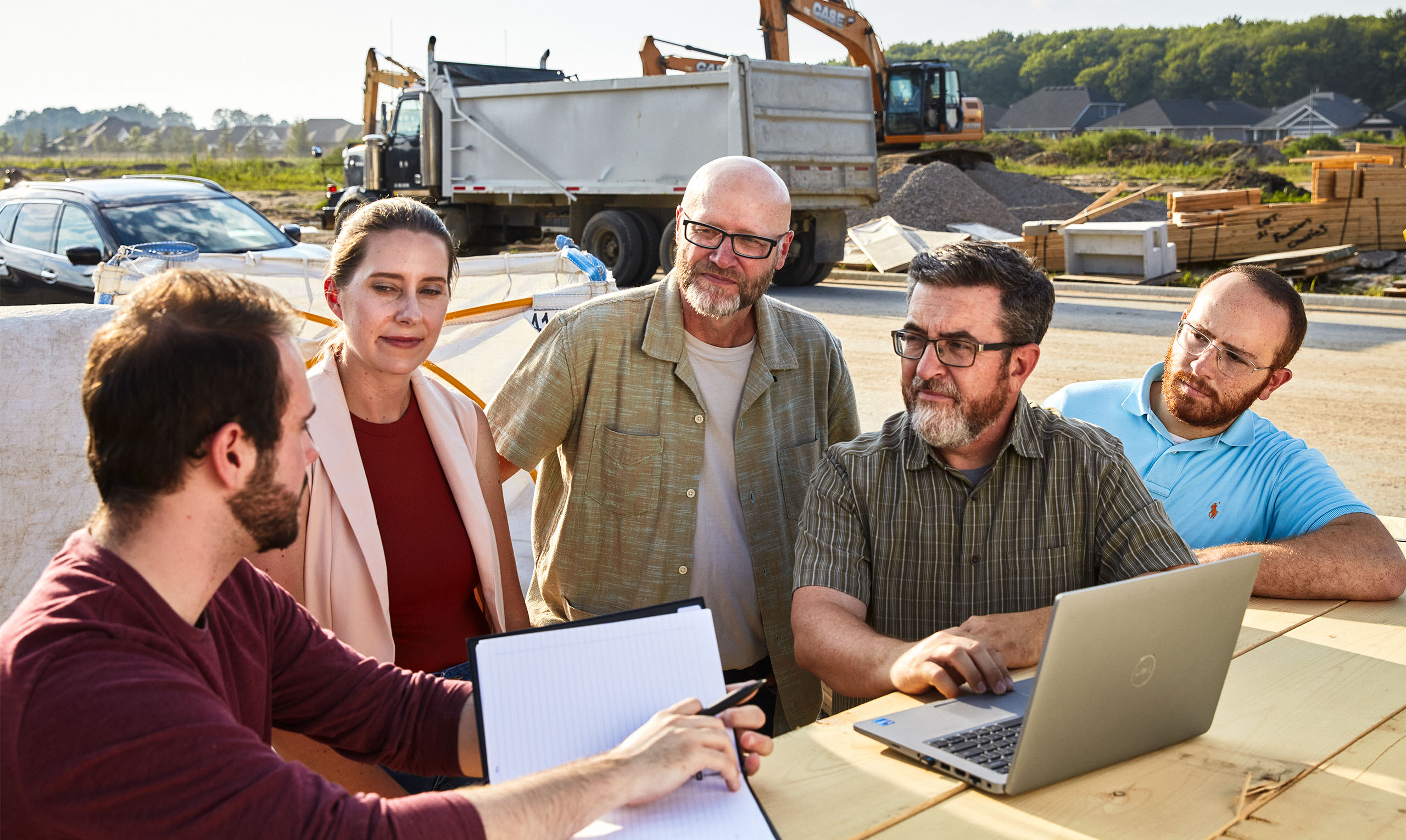
Armed with an arsenal of drones, and expert staff and skilled students to pilot them, NTP introduced a state-of-the-art Wingtra to its fleet last year. The industry-defining drone allows field teams, led by research engineer Connell Miller, to capture some of the highest quality images and video footage, and easily take off vertically before zooming off for its flight. This allows the drone to fly in previously inaccessible areas and to obtain more accurate damage surveys.
This year, NTP also acquired a Google Street View-style panoramic, 360-degree camera and strapped it to the top of a Ford Explorer. The new tool makes data collection easier and, more importantly for the researchers, more robust.
“Damage surveys take a lot of time. And one of the things we’ve discovered, especially in an urban setting, is there’s a lot of chaos,” said Kopp. “We try to get there right away (after a tornado), and go to the worst-damaged areas, but people, rightfully so, want to start cleaning up right away. With the new camera, we can start capturing data as soon as we arrive on site, so nothing is lost. We want to collect as much visual information as possible before the area is cleared and rebuilt. Data is key to our success.”
The next item on the NTP wish list is a portable lidar system, which scans at 300,000 image samples per second. Simply put, lidar, which stands for light detection and ranging, uses laser light to measure distances.
“We want a unit that we can put on a backpack or a car so we can walk or drive through a damaged area and create a 3D image,” said Kopp.
The advantage of all these technologies is they can be integrated into a system to pump out even more advanced analysis by using automated intelligence and other digital strategies.
“Once we have the data, we can start using computer vision, machine learning and different tools to identify the damage. We don’t have to do it as much by eye. And then when we see structures that are really interesting, we can really dig in,” said Kopp.
“There are always three or four houses in an urban setting that have something unique about them. Then we can spend our time trying to understand those houses while we’ve captured the data for the whole event.”
NTP wants to capture as much data as they can. It may be an overwhelming amount of information for now but in three years, five years, or even 10 years, the technology will exist that will allow researchers to better understand and analyze these big data.
“It is so important that we have all this data captured so we can better understand what happens in tornadoes, what breaks in tornadoes, and what happens with the debris,” said Sills.
He said one of his goals is to partner with geo-tech giant Planet on an ultra-high resolution satellite system that would reduce the need for drones.
“In the future, we will be able to analyze data that we can’t even imagine analyzing right now. But as the knowledge and technology improves, those datasets will be gold.”